Top 5 Trimble GPS for Land Surveying: Accurate Solutions for Every Surveyor
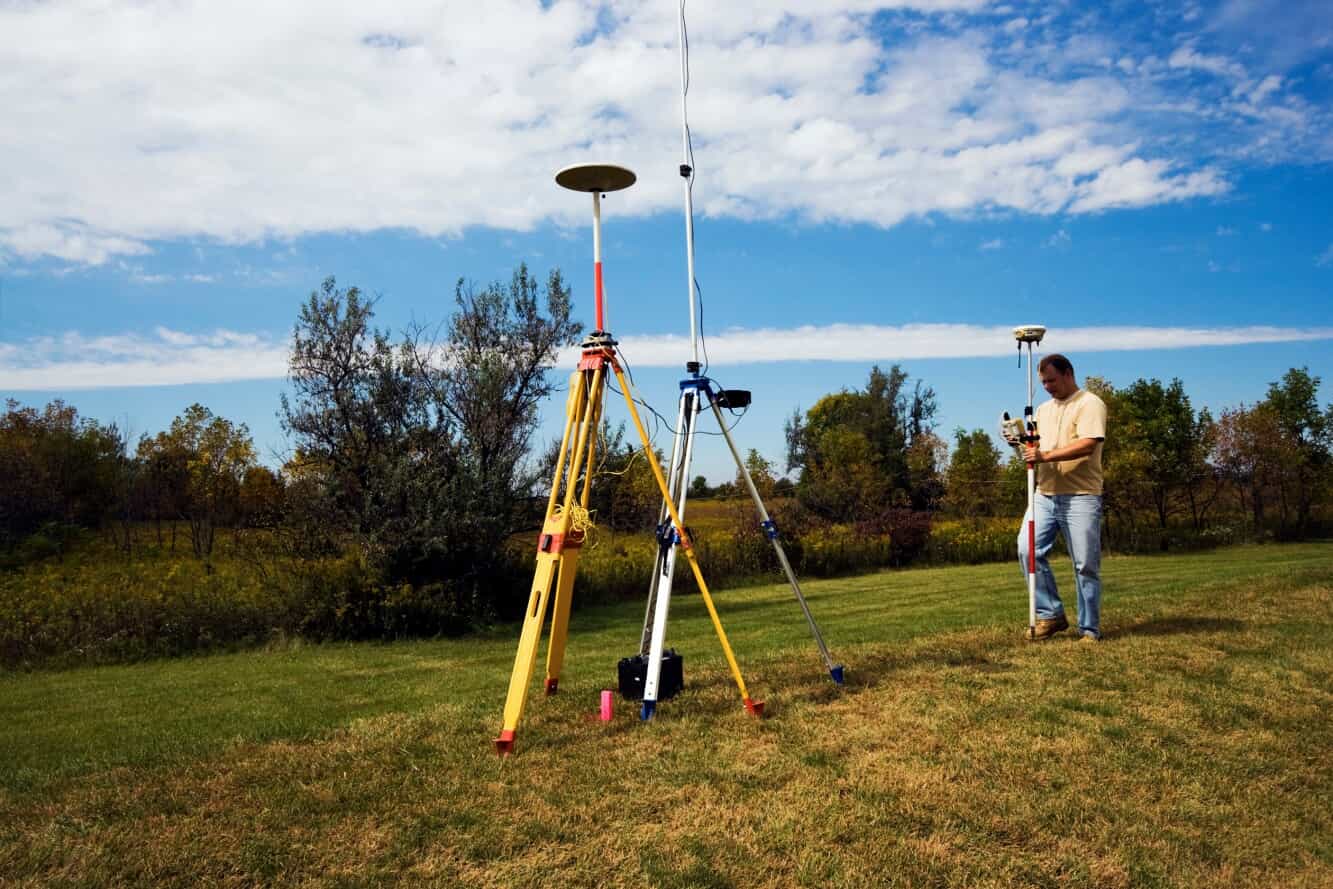
In the land surveying industry, precision and reliability are paramount. Many GPS systems help with surveying, but Trimble is a leader. They offer different models for specific project needs. Whether in a busy city or a tough remote area, picking the right Trimble GPS can help your project succeed.
This Trimble GPS comparison guide lists the top five Trimble GPS options for land surveying. See which product is the best fit for your team.
Why Trimble Is a Leader in Land Surveying GPS Technology
Founded in 1978, Trimble has long been recognized for its commitment to innovation and precision in geospatial solutions. Trimble developed the world’s first commercial GPS receiver in 1984, revolutionizing surveying and mapping technology. Since then, their GPS systems have become synonymous with precision and reliability. Trimble GPS systems offer the following key benefits:
- Advanced Technology: Trimble incorporates key features, such as ProPoint™ Global Navigation Satellite System (GNSS) technology and Trimble Inertial Platform (TIP), for enhanced accuracy.
- Durable Designs: Trimble builds its products to withstand harsh field conditions, ensuring longevity and usability in real-life applications.
- Versatility: Trimble offers solutions suitable for various project needs, from construction to environmental studies.
How to Choose the Right Trimble GPS for Surveying
Trimble has created different GPS products for surveyors. These tools help you collect and analyze precise data while working. Their geospatial technology can help turn spatial data into meaningful information.
Each new GNSS solution is tailored to specific project needs, so comparing your options is important.
When selecting a Trimble GPS, consider the following:
- Project Requirements: Start by assessing the level of accuracy your project requires and the nature of the terrain. Some Trimble products focus more on high precision, while others offer lightweight, compact options.
- Budget: Trimble offers models at different price points. When choosing a model, it is important to balance features and cost.
- Connectivity Needs: Assess if real-time data transmission or integration with other devices is essential.
- Ease of Use: Consider each product’s learning curve and user interface. This is especially important if your project will require multiple team members to operate the device.
Top 5 Trimble GPS Models for Surveying
Trimble offers a variety of survey equipment for different field conditions and workflows. Let’s look at the top five units available today. The comparison below will show the best uses for each product. We will also highlight the key features and trade-offs to consider before buying.
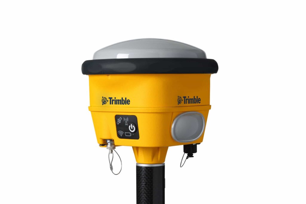
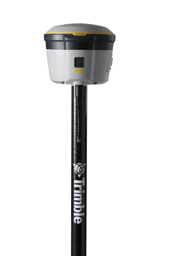
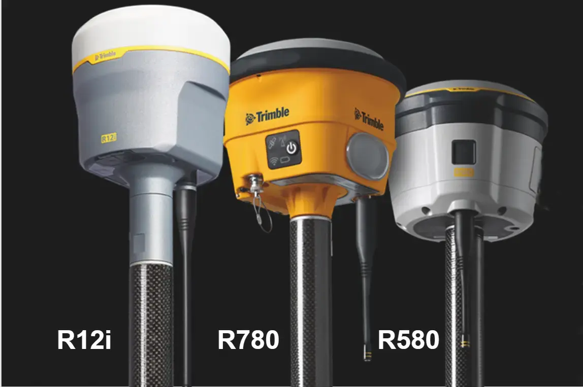
1. Trimble R12i ($10,999.00)
The Trimble R12i is at the forefront of GNSS technology, offering outstanding accuracy and efficiency for land surveyors. Equipped with ProPoint™ GNSS and TIP technology, it delivers precise measurements even in challenging environments.
Its real-time tilt compensation allows for fast data collection without the need to level the pole, enhancing productivity and safety on the job. The R12i has a tough design that meets IP67 standards. It works well with different field software, and engineers designed it to perform reliably in tough conditions.
Best for:
- High-precision tasks in challenging environments (especially rover work)
Features:
- ProPoint™ GNSS technology for superior signal tracking
- Trimble TIP for real-time tilt compensation
- Robust design suitable for rugged conditions
- UFH radio receives and transmits 450 MHz
- Max precision of 8 mm H/15 mm V
Pros:
- Exceptional accuracy, even under canopy or near structures
- Efficient data collection
Cons:
- Premium pricing may not suit all budgets
Ideal use cases:
- Topographic surveys
- Construction staking
- Projects requiring high accuracy in obstructed environments
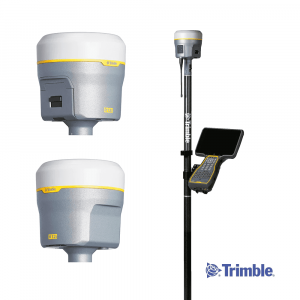
2. Trimble R980 ($11,999.00)
If the R12i is Trimble’s powerhouse for fast, high-precision rover work, the Trimble R980 is its more versatile counterpart. The R980 supports base and rover setups and is popular for extensive infrastructure projects and teams with many roles in the field.
It has the same advanced ProPoint™ GNSS and TIP technologies as the R12i. This provides accuracy and real-time title compensation in complex settings.
The R980 stands out because of its excellent connectivity. It has dual-band UHF, built-in LTE, and modular hardware. This allows for flexible deployment.
If your projects need to communicate over long distances, the R980 can help. It also allows for changing roles, giving you the flexibility you need.
Best for:
- Versatile applications requiring high accuracy and connectivity
Features:
- ProPoint™ GNSS and Trimble TIP technology
- Integrated 4G LTE for real-time data transmission
- UFH radio receives and transmits 450/900 MHz
- IP67-rated rugged design
- Base or rover flexibility
- Max precision of 8 mm H/15 mm V
Pros:
- Seamless connectivity for real-time corrections
- Configurable for multiple roles
- Excellent performance in obstructed or high-interference environments
Cons:
- May include more functionality than needed for simpler projects
- Slightly heavier than single-purpose rover units
Ideal use cases:
- Transportation and infrastructure development
- Utility and mining projects
- Multi-crew projects requiring modular setup
3. Trimble R780 ($6,999.00)
The Trimble R780 is an ultra-rugged GNSS receiver engineered for heavy-duty construction and industrial job sites. This model can handle vibration, drops, and extreme weather without interruption.
It has Trimble xFill, which keeps the system running during short signal loss. This feature is important for work in remote or blocked areas.
The R780 is very customizable, making it a great choice for survey teams. They need a device that can work as a base or rover. It adapts to various applications, from simple data collection to complex real-time kinematic (RTK) surveying.
Best for:
- Sites and environments demanding rugged equipment
Features:
- Trimble xFill for seamless performance
- Base or rover configuration
- Advanced positioning engine with multi-constellation GNSS support
- Trimble TIP for real-time tilt compensation
- Enhanced Trimble RTX™ Technology
- UFH radio receives and transmits 450/900 MHz
- Max precision of 8 mm H/15 mm V
Pros:
- Superior durability for harsh environments
- Maintains productivity even during GNSS outages
- Long battery life for full-day field use
Cons:
- Heavier than more compact survey receivers
- May be overbuilt for light-duty fieldwork
Ideal use cases:
- Large-scale construction, agriculture, and utilities projects
- Mining operations
- Job sites prone to signal loss
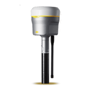
4. Trimble R2 Integrated GNSS System ($4,500.00)
The Trimble R2 is a small, light GNSS receiver. It serves GIS professionals and surveyors, who value mobility and want to connect with smart devices. Despite its smaller size, it can track all available constellations, including GPS, GLONASS, Galileo, BeiDou, and SBAS.
Bluetooth the R2 connects easily to field controllers, tablets, and smartphones. This makes it a popular choice for teams collecting geospatial data without needing a heavy rover pole. The device’s portability allows users to mount it on backpacks and vehicles.

Best for:
- GIS professionals and projects requiring flexibility
Features:
- Compact, cable-free design for handheld use
- Bluetooth connectivity with Android, iOS, and Windows devices
- One-button startup
- IP65-rated
- UFH radio receives 450 MHz
- Max precision of 10 mm H/20 mm
Pros:
- Extremely portable and easy to carry
- Works with a wide range of devices and apps
- Great for data collection across large sites
Cons:
- Not designed for survey-grade precision in complex environments
- Fewer advanced enhancements when compared to larger models
Ideal use cases:
- Environmental surveys
- Utility mapping
- Asset inventory
- Mobile geospatial data collection
5. Trimble R580 ($5,999.00)
For surveyors looking for good performance at a reasonable price, the Trimble R580 is a great choice. It provides accurate positioning. It also has quick signal acquisition.
The Trimble R580 uses the same ProPoint™ GNSS engine as Trimble’s top receivers, making it a reliable choice for daily survey tasks.
Its lightweight, integrated design and support for Trimble CenterPoint RTX corrections make it a good pick for boundary work and general surveying.
Best for:
- Surveyors seeking a balance between performance and affordability
Features:
- Trimble ProPoint™ GNSS technology
- Integrated antenna for compact portability
- Military-grade, rugged design
- UFH radio receives 450 MHz
- Max precision of 10 mm H/20 mm V
Pros:
- Deliver high accuracy at a mid-range price
- Quick setup and easy deployment
- Great value for general surveying work
Cons:
- Lacks features like title compensation or modular roles
- Not suited for extreme environments or heavy interference
Ideal use cases:
- Boundary surveys
- Construction layouts
- General day-to-day surveying tasks
Comparison Table: Trimble GPS Models at a Glance
Here is a simple Trimble GPS comparison table. This will help you find the best surveying equipment for your project.
| Model | Best For | Key Features | Max Precision | Pros | Cons |
| Trimble R12i | High-precision tasks in challenging environments | ProPoint™ GNSS, TIP, 450 MHz UHF, IP67, Tilt Compensation | 8 mm H/15 mm V | Exceptional accuracy, fast tilt-enabled data collection | Premium price |
| Trimble R980 | Versatile applications with high accuracy and connectivity | ProPoint™ GNSS, TIP, 450/900 MHz UHF, LTE, IP67, Base/Rover | 8 mm H/15 mm V | Seamless connectivity, flexible configuration | Heavier, may be overbuilt for simple tasks |
| Trimble R780 | Rugged environments and construction sites | xFill, Multi-GNSS, TIP, RTX, 450/900 MHz UHF, Base/Rover | 8 mm H/15 mm V | High durability, long battery life | Heavy, might be excessive for light-duty use |
| Trimble R2 | GIS professionals and mobile projects | Compact, Bluetooth, SBAS, IP65, 450 MHz | 10 mm H/20 mm V | Portable, compatible with mobile devices, easy setup | Lower precision, fewer advanced features |
| Trimble R580 | Balanced performance and affordability | ProPoint™ GNSS, Integrated Antenna, 450 MHz, RTX | 10 mm H/20 mm V | High accuracy at lower cost, quick deployment | No tilt compensation, not ideal for high-interference sites |
Final Thoughts: Which Trimble GPS Is Right for You?
Choosing the best Trimble GPS for land surveying depends on your project needs, working conditions, and budget. If you’re tackling high-precision work in obstructed environments, the Tribmle R12i is hard to beat.
For large teams needing seamless connectivity in the field, the R980 delivers powerful real-time performance. If you want something built to handle the elements, the R780 stands up to the toughest job sites. For mobile teams, the R2 is flexible and easy to carry. The R580 offers a good balance of price and performance for daily survey needs.
No matter which model you choose, Trimble provides solutions that boost productivity, accuracy, and reliability. Please explore our complete Trimble GPS inventory, or contact our team for expert guidance.
FAQ: Trimble GPS for Land Surveying
What is the most accurate Trimble GPS unit for surveyors?
The Trimble R12i is currently the most advanced GPS receiver Trimble offers for survey-grade accuracy. It combines ProPoint™ GNSS, Trimble TIP tilt compensation, and advanced signal filtering.
Can I use Trimble GPS in remote or rugged terrain?
Yes, you can use Trimble GPS in remote or rugged terrain. Designers specifically create models like the Trimble R780 for rugged environments and harsh weather conditions.
What’s the difference between Trimble R10 and R12i?
The R12i is the next-generation evolution of the R10. It includes ProPoint™ GNSS for better signal tracking and real-time tilt compensation. This helps teams work fast and accurately without wasting time leveling poles. It also performs better under a canopy and near structures.
Do Trimble GPS units require a subscription or license?
Some Trimble models require a subscription or license for advanced features. Depending on your workflow and region, you may also need a data plan for cellular connectivity. Confirm licensing needs for your specific product before purchase or deployment.
Where can I buy genuine Trimble GPS equipment?
Authorized Trimble GPS systems can be purchased directly from Gemoatrics Land Surveying. They offer product support, expert recommendations, and genuine Trimble hardware as an authorized distributor.