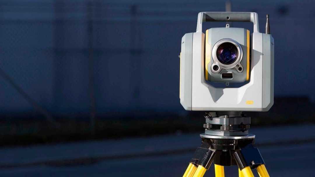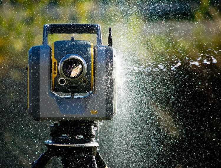
In the world of modern land surveying, construction, and geospatial analysis, precision and speed are non-negotiable. That’s why 3D laser scanning has become a cornerstone technology for professionals seeking accurate, high-resolution spatial data. Whether you’re mapping terrain, documenting infrastructure, or modeling complex environments, a reliable laser scanner can dramatically improve your workflow and data integrity.
Continue reading “A Comparative Analysis of Trimble 3D Laser Scanning Systems”
Posted on July 15, 2025