About Geomatics Land Surveying
>
Welcome to Geomatics Land Surveying. We began our company in 2008 to supply a comprehensive package of surveying and mapping services and products to various industries. Our headquarters are in Singapore.
Geomatics Land Surveying provides solutions for a global customer from governments, school, construction project, and transportation. We are committed to providing different equipment such as the Used Attrezzatura di rilevamento di Trimble, USed Sistemi GPS di Trimble, and Used Trimble laser scanners to give you a better understanding of your site and increase efficiency.
Vorremmo chiarire che la nostra azienda è non è associata a Trimble Inc.
We operate independently and are not authorized to sell new Trimble products. Additionally, we ensure full compliance with all regulations and guidelines established by Trimble Inc. Our offerings do not violate any of Trimble’s policies or standards.
Se avete domande o necessitate di ulteriori informazioni, non esitate a contattarci direttamente.
Why choose Geomatics Land Surveying?

We understand how important your job is to you. We, therefore, take pride in providing you with dependable software and equipment to help you achieve precision. You should choose Geomatics Land Surveying because we aim at generating the most exceptional value to you.
We provide you with advanced technologies that have a significant impact on your work due to our experience in the field.
Surveyors in different parts of the world trust the Trimble devices for their high performance, and we provide them to help you remain productive in your field. We aim at streamlining your workflow by providing you with precision robotics and support services.
We also professionally offer our services, respecting your resources and time as our client. Our joy is to help you optimize your productivity through different projects. We use the leading edge technology to help surveyors deliver good output to their clients while making good decisions. We can also help you boost the collaborating capabilities between the site and office so that you don’t have to keep on revisiting the site to analyze data.
Geomatics Land Surveying also prioritizes on your safety. We offer equipment that is not only effective but also safe to use to minimize accidents while working. You, therefore, get rich, accurate data without the risks of accidents from work.
If you are in the construction or engineering field, you need to check out different products from Geomatics Land Surveying to choose one that matches your needs. Our different branches increase accessibility to our customers. Most of our customers also praise us for excellent customer service.
You can receive help from our customer support for you to learn more about our services and products. Transform your projects into a success with the help of Geomatics Land Surveying.
The Story
By rendering Superlative Support and Superior Service, Geomatics Land Surveying is changing the game.
Since 2008, we here at Geomatica e Geomorfologia have been providing governments, schools, construction management crews and transportation teams with the most excellent Trimble surveying equipment available.
A commitment to innovation is what sets us apart from others, and through the implementation of ingenuity, we cater to a wide range of industries. Though headquartered in Singapore, we have established locations throughout the Americas, Asia, and Europe to provide a world-class experience for our customers.
Articolo
- Tutto
- Articolo
- Trimbule GPS
- Trimble Guidance Systems
- Scanner laser Trimble
- Recensione di Trimble
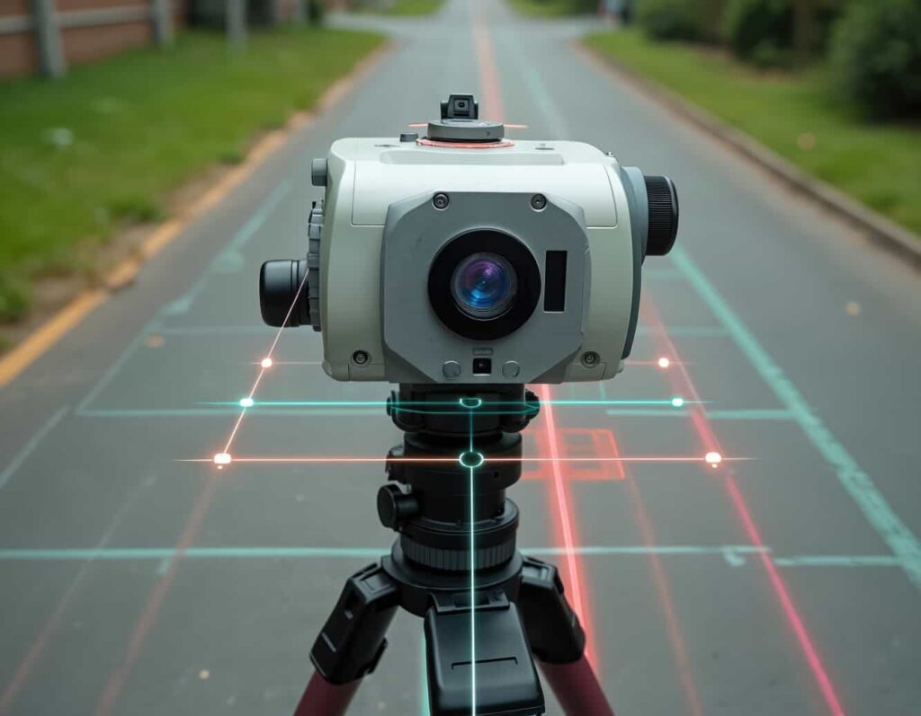
Analisi comparativa dei sistemi di scansione laser 3D di Trimble
Nel mondo della moderna geoinformazione, della costruzione e dell’analisi geografica, precisione e velocità sono elementi imprescindibili. Ecco perché la scansione laser 3D è diventata una tecnologia fondamentale per i professionisti che richiedono dati spaziali accurati e ad alta risoluzione. Sia che si tratti di mappatura del terreno, documentazione delle infrastrutture o modellazione di ambienti complessi, un scanner laser affidabile può migliorare drasticamente il flusso di lavoro e l’integrità dei dati.
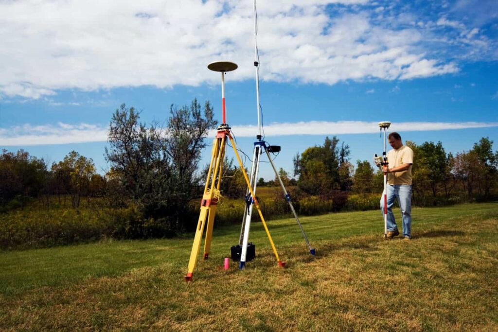
I 5 migliori GPS di Trimble per la geoinformazione: soluzioni accurate per ogni geografo
Nell’industria della topografia, precisione e affidabilità sono fondamentali. Molti sistemi GPS aiutano nella mappatura, ma Trimble è leader nel settore. Offrono diversi modelli per soddisfare le esigenze specifiche dei progetti. Sia che si lavori in una città affollata o in una zona remota difficile, scegliere il giusto GPS Trimble può aiutare il progetto a raggiungere i risultati desiderati. Questa guida comparativa dei GPS Trimble elenca […]

Display di guida per l'agricoltura di precisione di Trimble
Trimble Agriculture crea prodotti che rendono più semplici l’identificazione e la risoluzione delle problematiche. I display di guida per l’agricoltura di precisione aiutano le aziende agricole piccole e grandi a ridurre i costi, rimanere competitive e raggiungere il successo.
 English
 Spanish
 French
 German
 Italian
 Danish
 Dutch
 Portuguese